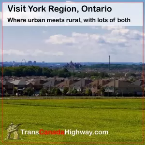
York Region Overview
The York Region is strategically located just north of Canada’s major consumer and industrial market, the “Golden Horseshoe” of Ontario. It sits on the northern edge of the Greater Toronto Area (GTA), only an hour from the U.S. border. The York Region is that area directly north of Toronto’s Steeles Avenue north to Lake Simcoe. It is served by two main northsouth highways connecting it to Toronto to the south: the Highway 400 (which continues north to Barrie, Parry Sound and Sudbury),and Highway 404, which is a continuation of the Don Valley Parkway
 York Region History
The Indian portage route from Lake Ontario to Lake Huron via the Humber and the Holland Rivers became known as the Toronto Carrying-Place Trail. During the War of 1812 a Settlement Road was built to help with the defence of the Upper Great Lakes from American attack, and Richmond Hill grew as a stagecoach stop on Yonge Street between Toronto and Holland Landing.
By the 1850s, the railways connected the area’s farmers, resources and factories with markets in Toronto and beyond. In the 1900s, the Automobile made the region a vacation destination for now-mobile Torontonians, and later made it a bedroom community for the ever expanding Toronto.
Formed in 1974, The York Region includes a number of cities and towns and has a population of 850,000 residents (2003) from various countries and cultures from around the world.
Approximately half the regions’s 25,000 businesses are in the manufacturing, product distribution or corporate sectors. York Region ranks as the fourth largest head office centre in the country. The strongest business sectors in York Region are pharmaceuticals, electronics, computer, chemical and transportation (automotive) parts and equipment. especially around Vaughan (including Concord and Maple), Markham, Richmond Hill, and Aurora.


 York Region History

