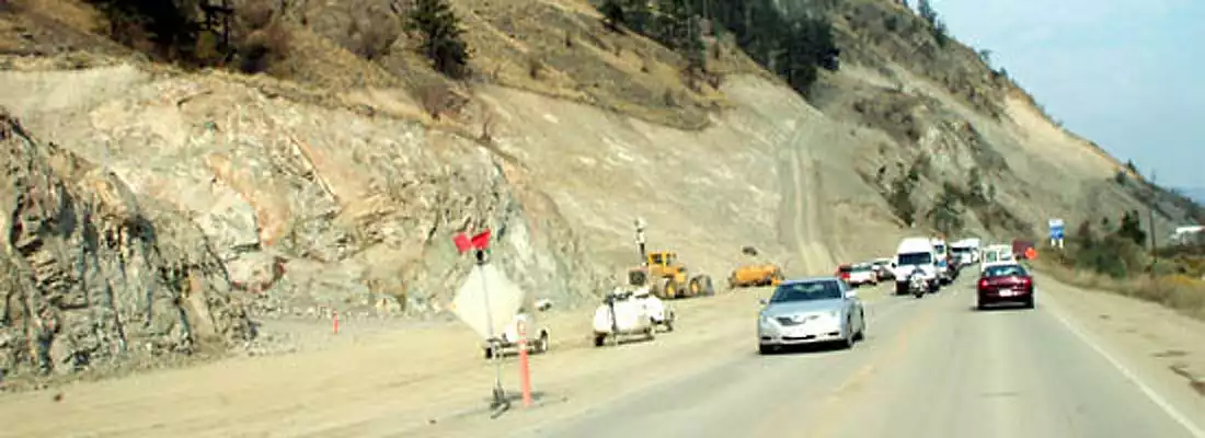
The overall status of the highways in BC is good, with significant portions of the route of the #1 Trans-Canada between Victoria and Alberta border twinned. The Vancouver Island sections outside of Victoria’s Inner Harbour are twinned. The Fraser Valley portion of the #1 has long had the Coquihalla Hihgway #5 as a high-speed option.
Importantly, the section between Kamloops and the Alberta border a long-term priority for the BC Government. They have been improving the level sections of highway with passing lanes (where space-constrained by nature) or full-out twinning, and replacing two-lane bridges with 4 lane ones in anticipation of roadway upgrades.
New & Improved!
The 4 km Kicking Horse Canyon section east of Golden (so curvy and steep it has a 40 km/h speed limit) has been replaced with a 4-lane divided highway as of Novermber 2023. as a result of a 4 year engineering and construction project that cost $450 million to replace this 3 km section of roadway.

While the Mountain Parks are a federal responsibility, and preliminary work underway in Yoho, Glacier, and Revelstoke National Parks, taking advantage of lessons learned in Banff National Park, in terms of route selection, as well as nature and wildlife mitigation. This work includes wide animal bridges to provide overpasses for the wildlife, and reducing vehicle-animal collisons.
Here are some history notes, organized by Itinerary Segment (from west to east):
West Vancouver to Hope
History: Sea To Sky (Highway 99), connecting Vancouver to Whistler and Lillooet
History: Upper Levels Highway from Horseshoe Bay to the Second Narrows Bridge
History: Bridges in and around Vancouver
History: Highway 99 heading south to White Rock and the United States
History: The Lower Mainland Route from Burnaby to Hope
History: Bridges across and along the Fraser River
We wish to thank Judith Reid, BC’s Minister of Transportation (in 2003), for providing a copy of Frontier to Freeway: a short illustrated History of the Roads in British Columbia which has been helpful in this research.
History of Yellowhead Highway #16 in BC
These histories are included in the itinerary segment pages:
Haida Gwaii Ferry (9 hours)
Yellowhead: Prince Rupert – Skeena – Terrace (144 km)
Yellowhead: Terrace to Smithers (205 km)
Yellowhead: Smithers to Burns Lake (229 km)
Yellowhead: Burns Lake to Prince George (272 km)
Yellowhead: Prince George to Tete Jaune Cache (272 km)
Highway 5 Kamloops to Tete Jaune Cache (339 km)
History of Crowsnest Highway #3 in BC
These histories are included in the itinerary segment pages:

Other Resources
![]()
City
![]()
Town
![]()
![]()
![]()
Itinerary
![]()
History
![]()
Ferry
![]()
Tour


