Trans-Canada Highway.com please wait to load
What
image
  • imageAccommodations
  • imageAir Travel
  • imageAirport Parking
  • imageAttractions
  • imageAutomotive
  • imageBed & Breakfasts
  • imageBoat Rentals or Charters
  • imageBuses or Shuttles
  • imageCafe
  • imageCampgrounds
  • imageCasinos
  • imageCinema
  • imageCraft Beer - Winery
  • imageCurrency Exchange
  • imageEmergency
  • imageEntertainment
  • imageFarmers Market
  • imageFestivals
  • imageFire Hall
  • imageFirst Nation
  • imageFlea market
  • imageFree
  • imageGolf Course
  • imageGovernment
  • imageHistorical
  • imageHospital
  • imageHostel
  • imageHotels
  • imageKids Amusement
  • imageLimousines
  • imageLong Term Rental
  • imageMarijuana /CBD
  • imageMarinas
  • imageMuseum / Gallery
  • imagePark
  • imagePolice
  • imagePublic Transit
  • imageRental Car
  • imageRest Stops
  • imageRestaurant
  • imageRV Rental
  • imageShopping
  • imageShopping District
  • imageShopping mall
  • imageSki Resort
  • imageSpa
  • imageSports & Recreation
  • imageSports Team
  • imageTaxi
  • imageTheatre
  • imageTour
  • imageTourist Services
  • imageTours & Tour Guides
  • imageTrain
  • imageTransit Hub
  • imageTransportation
  • imageTravel
  • imageTravel Info/Office
  • imageVacation Rental
  • imageWilderness Lodge
Where
image
image

Swift Current, Saskatchewan

Grasslands National Park

This town of 16,000 is the major population centre for southwest Saskatchewan, is nicknamed “speedy creek” (get it?), and lies midway on the main Trans-Canada route Hihgway #1 between Regina (220 km to the east) and Medicine Hat (240 km to the west, in Alberta). The area was once the site of a number of Indian and fur trader camps, but matured as a settlement when the Northwest Mounted Police (NWMP) camped beside Swift Current Creek in 1874 on their Long March West.

Soon after the CPR made the town a major railway depot, from which goods were hauled by wagon, as far away as North Battleford. Around the turn of the century more farmers and ranchers were attracted to the area, quickly growing the area’s economy. There is a Hutterite Colony just outside of town, demonstrating traditional agricultural techniques. In 1952, the discovery of oil in the area created a second economic boom.

The town has excellent recreational facilities, including a 50 metre indoor Olympic pool. The Swift Current Creek flows northward to join the South Saskatchewan River just as it becomes Lake Diefenbaker at Saskatchewan Landing Provincial Park. The town celebrates its heritage with the Frontier days Celebration in July, including one of the biggest rodeos in the province. Swift Current also hosts the Old Tyme Fiddlers Championship in late September.
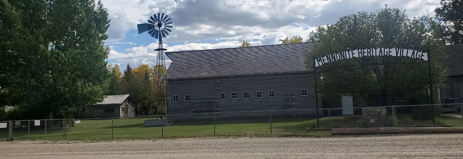
Swift Current-Mennonite Heritage Village-sliver

Attractions

Doc’s Town Heritage Village<

Doc’s Town Heritage Village

Kinetic Exhibition park
17th Ave & South Railway
306-773-2944

The Pioneer Heritage Display shows a replica of a turn of the century prairie village. The village includes a blacksmith, church, dental office, farm house, general store, medical office, post office, school, telephone exchange and a tearoom/gift shop. Open July & August, Friday to Sunday (and holidays) 2 pm to 8 pm. Admission.

National Exhibition Centre

411 Herbert St E (in the RD Dahl Centre)
306-778-2736

This centre showcases local artists and temporary exhibits of international art. Open July & August: Monday to Thursday 2 pm – 5 pm and 7 pm – 9 pm, Fridays 2 pm – 5 pm, and Saturday 1pm to 5 pm; the rest of the year: weekdays 2 pm – 5 pm, weekends 1 pm to 5 pm. Free admission.

Swift Current Museum exhibits

Swift Current Museum exhibits

Swift Current Museum

105 Chaplin St E
306-778-2775

This museum showcases the area’s early heritage, including wildlife and Indian artifacts and weapons. Open Victoria Day – Labour Day weekdays 1:30 pm – 4:00 pm and 7 pm – 9 pm; the rest of the year: weekdays 1:30 pm – 4:30 pm. Free admission.

Swift Current - Central Ave N -sliver

Swift Current, Saskatchewan Area Map